Geocoded ground observations have never been easier.
Ground truth satellite imagery, meter by meter, at the speed of your workflow. Add the context you can only get from on-ground data capture - under the canopy, below budget, and above expectation.
What will you track first?
-
![]()
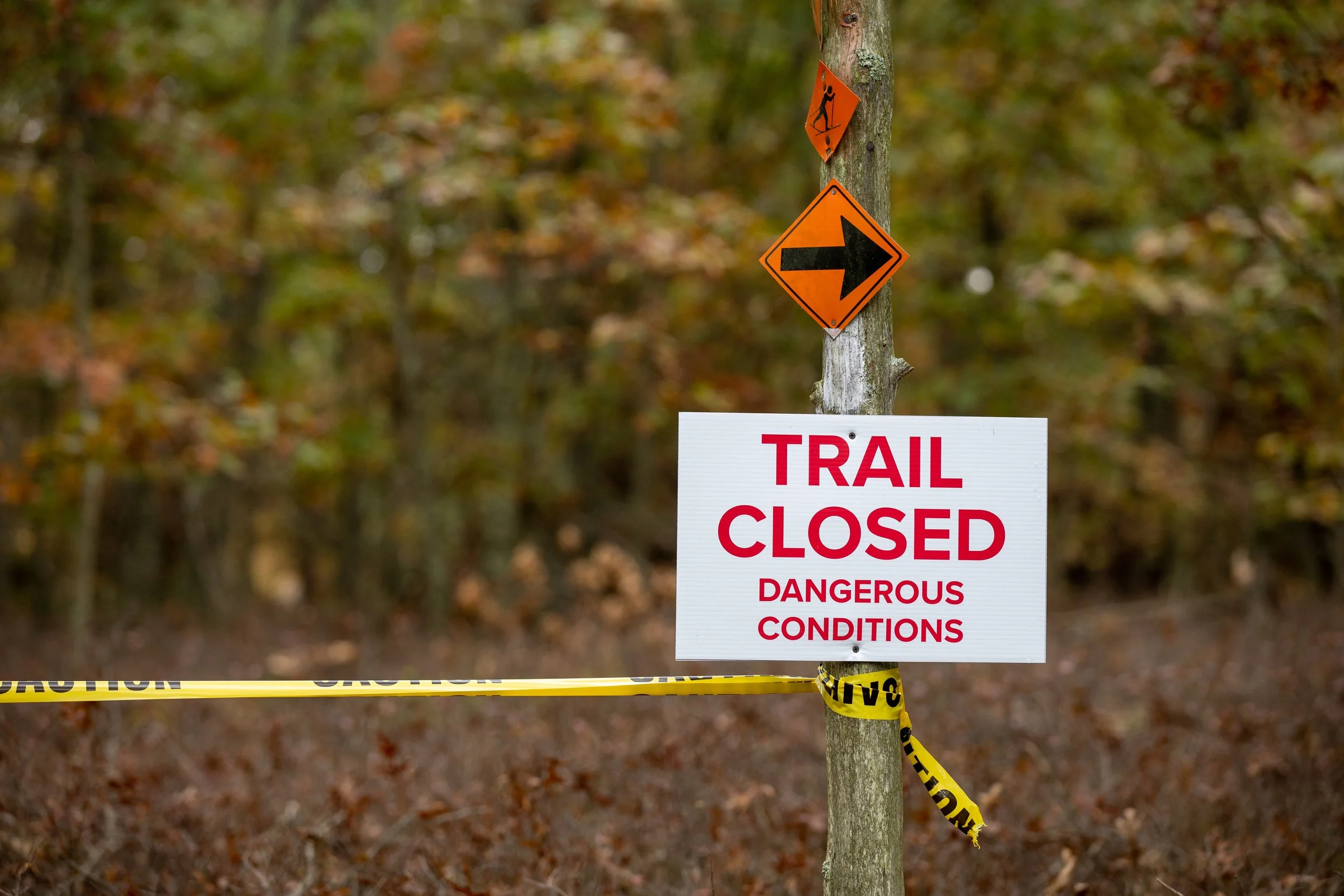
Access issues
Blowdowns, bridge down, washouts, etc
Track trail obstructions and routes as they appear in the field. Each tag captures a precise location so access problems can be prioritized, communicated, and resolved quickly. -
![]()
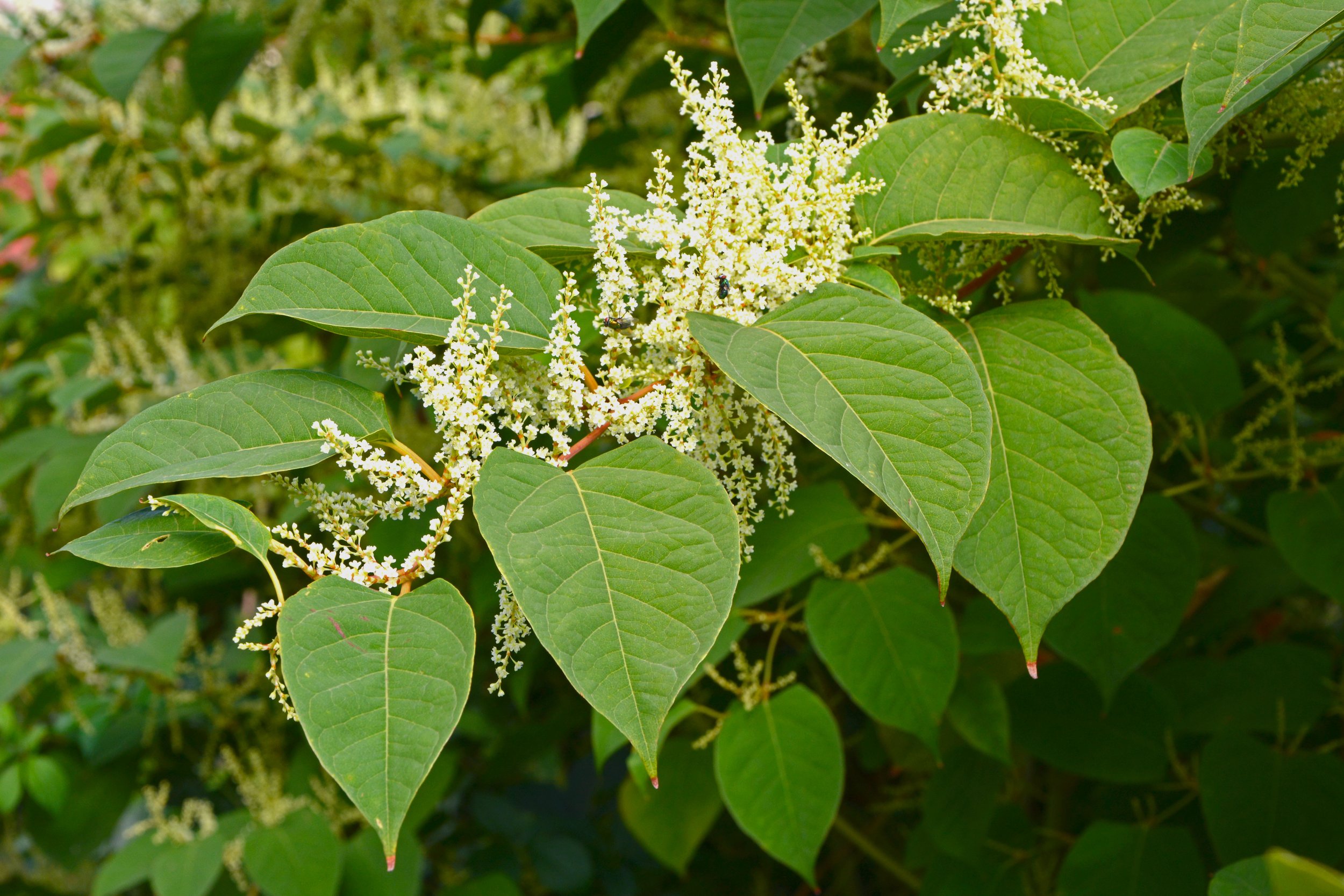
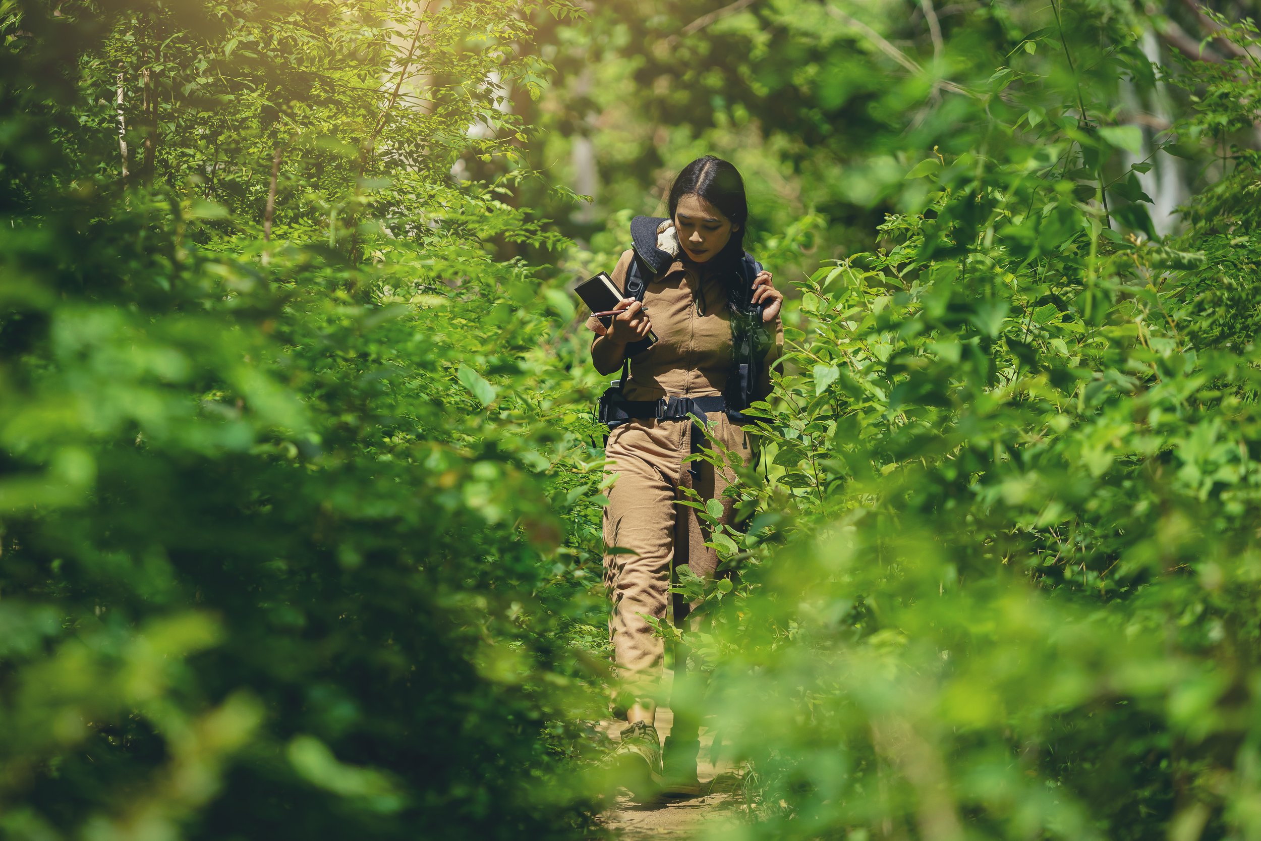
Invasive plants
Terrestrial invasives, evidence of invasive pests
Track invasive plants and pests as soon as they’re spotted, before small populations spread or become harder to manage. Each tag captures location and context, supporting early detection, coordinated response, and long-term ecosystem recovery. -
![]()
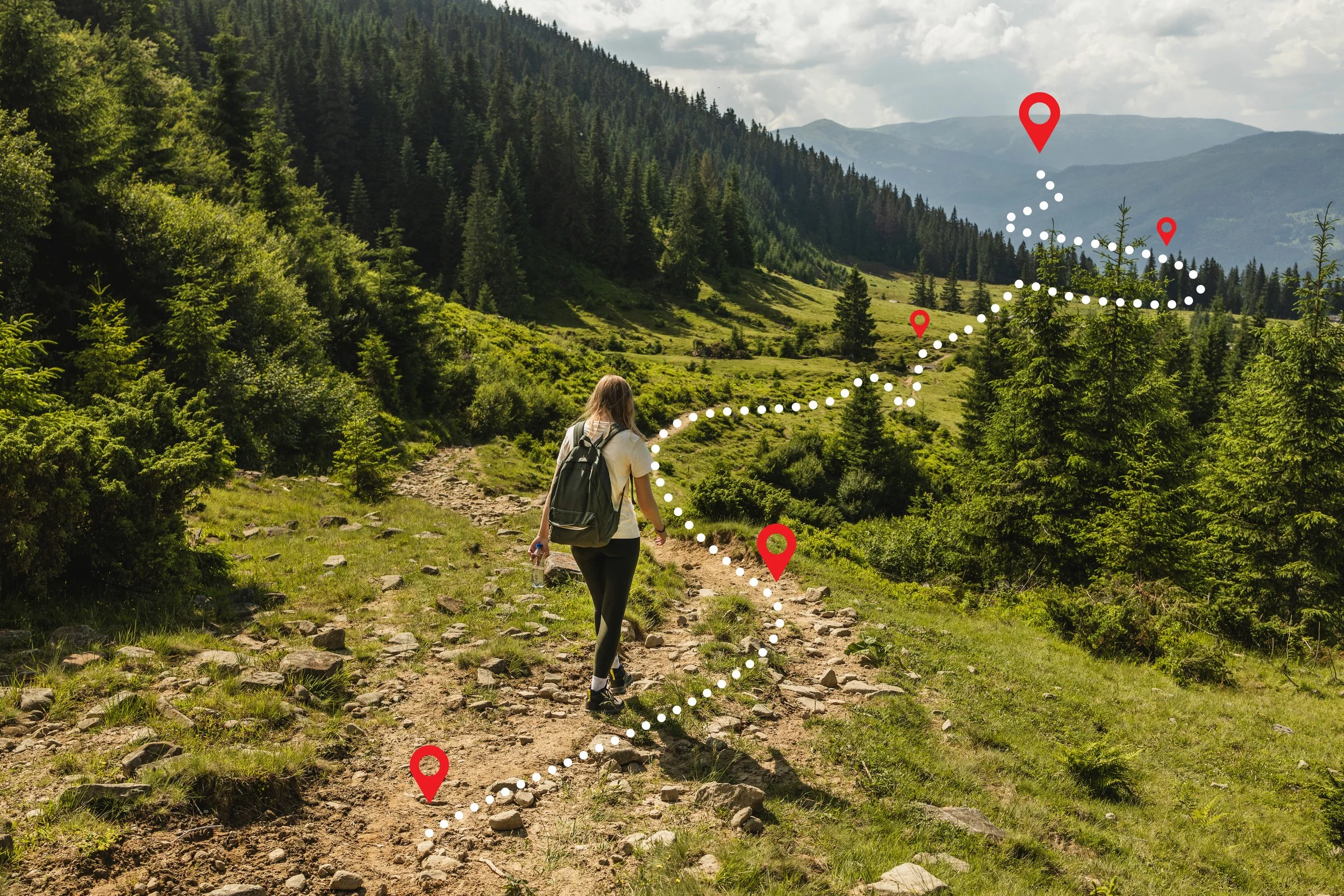
Missing trail signs
Call out those missing blazes
Even if trails exist on the ground, maps data might be missing, misaligned, or mislabeled in OpenStreetMap or other basemaps.
-
![]()
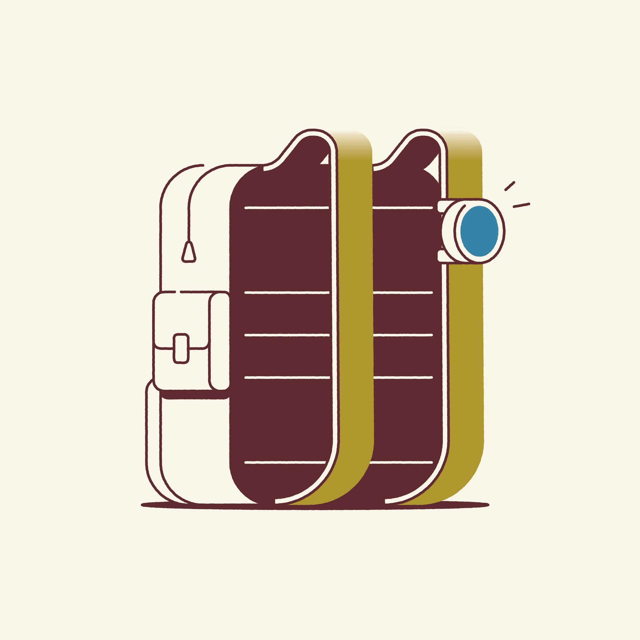
Custom field observation
Customized button actions
Set up custom observations for local conditions, emerging issues, or operational priorities. One button press logs location and context, making it easy to capture consistent field data without adding complexity.